
Survey Equipment & Technology
Equipped with high-precision total stations, dual-frequency DGPS RTK receivers, UAV drones, and 3D SLAM scanners.
High Precision Instruments

Leica TS03 / TS09 Total Station
High-precision manual electronic total station engineered for high-accuracy construction layout, property boundary setting out, and engineering survey tasks.
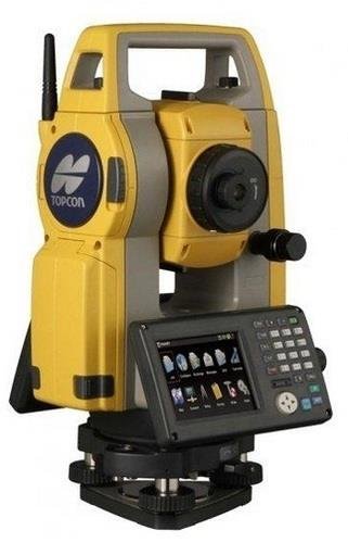
Topcon GM-55 / GM-50 Series
Rugged and compact total station providing ultra-fast 0.9s distance measurement, dual-axis compensation, and internal memory for 50,000 points.

Sokkia CX-101 1" Precision Total Station
Industry-benchmark 1-second angle accuracy total station ideal for deformation monitoring, bridge alignment, and high-precision civil engineering.
DJI Mavic 3 Enterprise UAV Drone
Professional surveying drone equipped with 4/3 CMOS mechanical shutter camera, RTK module, and thermal payload for aerial photogrammetry and inspection.
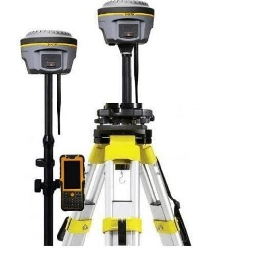
Topcon Dual Frequency DGPS GNSS
45-Channel multi-constellation RTK GNSS receiver providing instant centimetric positioning for primary control networks and real-time stakeouts.
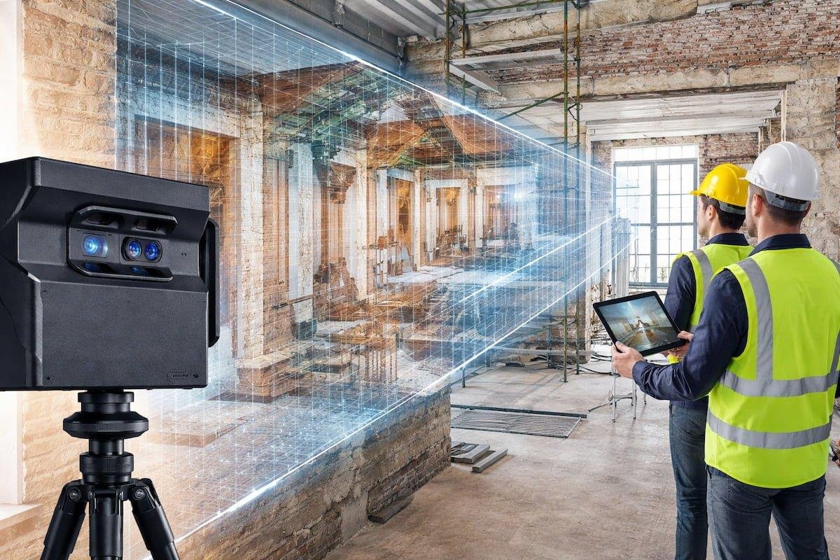
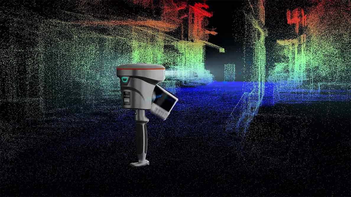
RS7 / RS10 3D SLAM Scanner
Mobile SLAM-enabled 3D laser scanner designed for rapid interior & exterior 3D point cloud generation without requiring tripods or targets.

Leica Sprinter Digital Level
Electronic digital level that eliminates optical reading errors. Automatically calculates height differences and reduced level benchmarking.
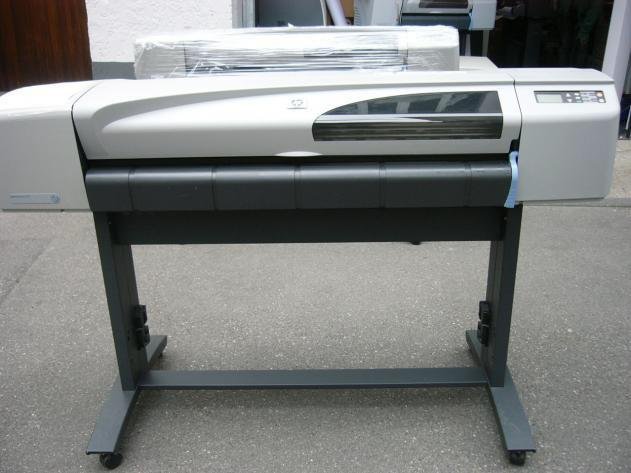
HP DesignJet 510 Large Format Plotter
In-house A0/A1 color architectural printer for printing high-density topographical maps, alignment drawings, CAD blueprints, and Mouza plans.
Equipment Strength & Quantity
| S.No | Description / Model | Made By | Accuracy | Quantity |
|---|---|---|---|---|
| 1 | LEICA TS 03 | Leica | 1"-5" | 1 Set |
| 2 | LEICA TS 03 | Leica | 1"-5" | 1 Set |
| 3 | Leica Total Station TS 03 | Leica | 5" | 1 Set |
| 4 | SOKKIA SETX | Topcon/Sokkia | 1" | 2 Sets |
| 5 | TOPCON GM 55 | Topcon/Sokkia | 3" | 3 Sets |
| 6 | SOKKIA GM101 | Topcon/Sokkia | 1" | 1 Set |
| 7 | Sokkia Total Station (CX 101/S) | Sokkia | 1" | 1 Set |
| 8 | TOPCON GM50/55 | Topcon/Sokkia | 3" | 3 Sets |
| 9 | Leica TS06 Plus | Leica | 3" | 1 Set |
| 10 | DGPS Dual Frequency TOPCON (45 CH) | Topcon | RTK Sub-cm | 3 Sets |
| 11 | DGPS Dual Frequency Spectra Precision (45 CH) | Spectra | RTK Sub-cm | 2 Sets |
| 12 | DJI Mavic 3 Enterprise Drone (LiDAR/GIS/Thermal) | DJI Enterprise | RTK Aerial | 2 Sets |
| 13 | RS7 & RS10 3D SLAM Scanner | Matrix1geosolutions Geo | Millimetric 3D | 2 Sets |
| 14 | Matterport 3D Scanner (BIM Point Cloud) | Matterport | High Precision | 1 Set |
| 15 | Leica Sprinter Digital Levels | Leica | 2mm | 3 Sets |
| 16 | Garmin GPS Map 62s | Garmin | 3m handheld | 4 Sets |
| 17 | HP Designjet-510 Colour Plotter Printer | HP | 2400 DPI A0/A1 | 1 Unit |
| 18 | Auto Plotter 6.5 Software | Auto Plotter | CAD Module | 1 License |